
Westlake ZIP Code Directory Coverage
Westlake's official Visitor Guide identifies one verified city ZIP code: 44145. City Hall and Westlake Porter Public Library use that code. Research did not verify a second standard ZIP, a PO-box-only ZIP, a unique institution ZIP, or a separate City-serving ZIP. The appropriate entry in a Westlake ZIP code directory is therefore deliberately narrow. It states what the City source establishes and does not invent an address boundary or a postal split that has not been documented.
| ZIP | Areas Covered | Post Office | Notes |
|---|---|---|---|
| 44145 | Westlake City, as identified by the City Visitor Guide | Westlake Post Office, 27300 Center Ridge Rd., Westlake, OH 44145-9998 | Standard delivery ZIP; City source does not draw a municipal and ZIP boundary overlay |
The verified Westlake Post Office phone is 440-250-9529. A Westlake city-label match and a ZIP match are useful Westlake address checks, but USPS delivery geography is not Westlake municipal-boundary certification. No official Westlake source located in this research gives a precise 44145 area outside Westlake, a Westlake part served by another ZIP, a realignment date, or ZIP-specific property or election counts.
The postal lookup interface is shown by USPS ZIP Code Lookup.
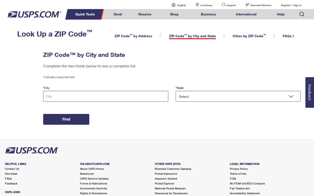
Use the postal response as a delivery check, then return to official local records for parcel and city questions.
Checking Westlake ZIP Code Addresses
USPS offers two relevant Westlake modes. By Address requires a street address and lets a user add a company or apartment or suite detail. By City and State requires the city and state and can show cities by ZIP. The first mode is the stronger check for a known Westlake address because it starts with the Westlake delivery address rather than a broad place label. USPS specifically warns that a Westlake ZIP result does not confirm a person or company at the address.
| Field Label | Type | Required | Options / Format Notes |
|---|---|---|---|
| Company | Text | No | Optional in By Address mode |
| Street Address | Text | Yes | Required in By Address mode |
| Apt/Suite | Text | No | Optional address detail |
| City | Text | Yes | Required in City and State mode |
| State | Control | Yes | Required in City and State mode |
| ZIP Code | Text | Conditional | Used to refine an address lookup |
- Enter the full Westlake address in USPS By Address mode and retain the returned delivery ZIP.
- Check the Westlake address in the City political map when council or voting geography matters.
- Use MyPlace with City = Westlake and Address, Owner, or Parcel mode for a Westlake parcel record.
- Compare the Westlake site address, parcel number, and legal description before using recorded documents.
- For older Westlake occupants by address, use a verified Westlake-covering criss-cross or directory volume.
No Westlake ZIP filter was verified in MyPlace or the Recorder's Advanced Search. The proper Westlake local workflow is address and parcel driven, not a claimed countywide ZIP lookup.
Westlake ZIP Code Search Limits
The Cuyahoga County Fiscal Officer's MyPlace has Westlake City, Owner, Parcel, and Address modes. It does not have a verified Westlake end-user ZIP selector. A selected Westlake parcel can reveal a property address, parcel number, deeded owner, legal description, land use, transfer details, tax views, map, and document-list handoff. That makes it a strong Westlake address tool, but it is not a ZIP-wide people list.
The Recorder's Advanced Search offers Property Address, Parcel ID, party roles, dates, document number, volume or page, and legal-description filters. No ZIP control was captured. Its index is the document trail for a known parcel or party, not a shortcut from a postal code to all people in an area. The public voter lookup likewise requires first name, last name, and county for a one-person registration check; it does not expose a public ZIP query.
For an address narrowed to a street, the Westlake streets directory sets out the address, parcel, and recorded-document trail. It is more useful than broadening a postal-code search beyond what the official systems actually support.
Westlake ZIP Code Political Map
Once USPS validates the delivery address, Westlake's City map tools answer a different question. The City's Political Map starts with an address. A user then selects the blue highlighted area to identify the Council member and voting location. The City says the map can select or create mailing labels. This is an address-enabled municipal tool, not a ZIP-boundary map and not a record of everyone who receives mail in a postal area.
The City also provides a Color Zoning Map. Zoning, political geography, tax parcel, and postal delivery each describe separate layers. A map result should be compared with the MyPlace property summary for a parcel question and with USPS for mail routing. The City page documents the permanent-parcel explanation and address-enabled political map, while the County GIS service documents composite parcel geometry and property characteristics.
Use Westlake Maps and GIS for the City address route. No research source establishes a ZIP-based Council, precinct, or property search.
Westlake ZIP Code Boundaries
A ZIP code is a postal delivery geography. City limits are a municipal boundary. They can align in a particular address result, but neither system supplies the other's legal definition. Westlake's City source names 44145, while the research did not find an official 44145-to-city-limit overlay. Therefore, do not assume every 44145 address lies in Westlake or that a City address cannot require another postal check. Validate the exact address with USPS and the City or County address tools.
Westlake's Maps/GIS page supplies the municipal-address route. Its Political Map asks for an address and uses the blue highlighted area to identify a Council member and voting location. The Color Zoning Map has a different purpose. A political-map result helps city geography, but it does not change a USPS result or identify a resident.
The Census geographic profile is shown by Census QuickFacts for Westlake.
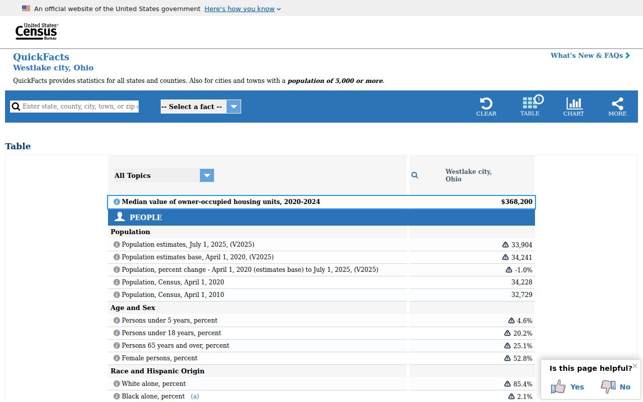
Population or geography context should remain separate from the precise postal and parcel checks used for a single address.
- ZIP versus ZIP+4
- A ZIP identifies a delivery area. ZIP+4 adds a more specific delivery segment; neither proves who occupies an address.
- PO-box ZIP
- A code used for post-office boxes rather than a standard street-delivery area. No Westlake PO-box-only ZIP was verified here.
- Unique ZIP
- A ZIP assigned to one institution or organization. No verified unique Westlake ZIP was located.
- Carrier route
- A postal delivery grouping. Research did not establish it as a public Westlake resident-record filter.
Westlake Parcel Keys Beyond ZIP
Four terms should stay separate during Westlake address research. A situs address is the physical parcel location. A tax mailing address is where the taxpayer receives correspondence. A legal description and permanent parcel number connect map, deed, and tax systems even where street labels change. ZIP code supports mail routing. Confusing any two can send a search to the wrong property or make a mailing address sound like a place of residence.
Westlake uses the Cuyahoga permanent-parcel format locally. The City gives 212-01-003 as an example: map book 212, page 01, parcel 003. The parcel number remains stable while a physical boundary is unchanged, but it can change after a split or combination. It is a useful historic key, not a resident identifier. The Map Room can help explain map book, page, and parcel structure or assist with current and prior ownership research.
Cuyahoga's open parcel service appears through the County parcel GIS service.
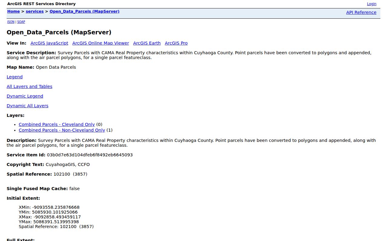
Parcel geometry and property characteristics help distinguish parcels, while the associated property record supplies the named record fields.
Westlake ZIP Code Research Gaps
Several details should remain unfilled until a primary source verifies them. Research did not locate an official 44145 and City-limit overlay, a ZIP realignment or split date, a ZIP-specific property or election population, or an official City grid, E911 addressing authority, or renumbering project. It also did not locate a ZIP-capable end-user filter in MyPlace, the Recorder's Advanced Search, or Ohio's public voter form. A delivery result should not be used to fill any of those gaps by assumption.
Historic geography has its own limits. The research did not establish exact Westlake or Dover Sanborn sheet years. County sources confirm original maps from about 1860 to 1945 and tax, appraisal, and atlas materials, but the correct historic source depends on the parcel and period. Search Dover Township, Dover Village, and Westlake, then ask the County Archives or Westlake Porter Public Library before stating that a particular map or address sequence exists.
Note: An unanswered ZIP-boundary question should be resolved with USPS and the relevant City or County address record, not a generalized postal assumption.
Westlake ZIP Code History Checks
For historic 44145 address work, use a directory only after its title page confirms Westlake coverage. The documented Haines Criss-Cross chain has early 1923 and 1926 volumes, then 1960 through the last year in the CPL set, subject to each volume's coverage. Post-1929 Cleveland directory address sections may help too, but a Cleveland title does not automatically prove Westlake inclusion. The verified later Westlake directory sequence begins in 1953, enters the Lakewood series in 1958, and continues in West Suburban volumes after 1964.
Historic place-name searching adds another check. Westlake was Dover Township and Dover Village before its 1940 name change. A historic map, directory, minute, or newspaper search should test those names before deciding a postal or address trail has ended. No official Westlake street-renumbering project, precise Sanborn-sheet list, or ZIP realignment was verified, so those details are left open for primary-source confirmation.
Note: The exact 44145 and City-limit relationship was not documented by an official overlay in this research and should be checked address by address.