
Westlake Neighbors at a Focal Parcel
Westlake public records can describe the parcels around a focal Westlake address, but each source answers a narrower question. MyPlace connects a Westlake address to a separate property record and map. Westlake recorded documents connect parties to instruments, dates, and a legal description. Cuyahoga County Archives adds older map and tax context for Westlake. The Westlake voter form verifies one searched person rather than returning a block list. Westlake has no verified City master neighborhood directory, homeowner-association map, resident roster, or block-watch roster.
| Source | What It Shows About a Block | Access |
|---|---|---|
| MyPlace map for Westlake parcels | Adjacent parcel geometry and a separate parcel record | One parcel at a time; no verified radius tool |
| MyPlace summary for Westlake parcels | Parcel, deeded owner, address, land use, legal description, and transfer sections | Free public compilation |
| Official Records Search for Westlake | Recorded parties and documents by parcel, address, or legal description | Manual public search |
| Cuyahoga Map Room for Westlake | Tax maps and current or prior-owner research help | 216-443-7020; stated 40-to-50-year help |
| Cuyahoga County Archives | Atlases, tax maps, tax records, and appraisal cards | Property-research appointment |
| City of Westlake OnBase PLAN | Planning material by address or project name | Civic and property context only |
A Westlake deeded owner is not necessarily every Westlake occupant. A Westlake tax mailing address is where a tax bill is sent, not a finding about where someone is present. A Westlake parcel boundary can also differ from a shared building or the social idea of a whole block. Treat each result as a property or record connection, then avoid making a household list from it.
Note: No County or City source located for this research publishes every person living along a Westlake block.
Map Westlake Neighbors Parcel by Parcel
Cuyahoga County MyPlace provides the documented adjacent-parcel method for Westlake. Select City = Westlake and search by address, owner, or parcel. Open the matching Westlake focal parcel, use View Map or Full Map, zoom in, then click one immediately adjoining Westlake parcel. Open that separate Westlake record before moving to the next parcel. The County’s documented workflow is zoom and click. Accessible source material did not verify a buffer tool, a radius search, or a whole-street public result list.
- Locate the focal Westlake address and confirm the Westlake parcel’s physical address, permanent parcel number, and legal description.
- Open the map from that Westlake parcel, zoom to the immediate border, and click one adjoining parcel.
- Record the second Westlake parcel’s number, land use, legal description, transfer timeline, and deeded owner exactly as shown.
- Repeat for each directly adjoining Westlake parcel, keeping separate notes rather than merging them into one block record.
- Use the Westlake parcel or legal description to compare a specific recorded instrument when a transfer needs confirmation.
This focused method is different from tracing an entire named road. When the question expands beyond the immediate adjoining parcels, use the separate Westlake street records route rather than turning this map workflow into a streetwide roster.
- Focal parcel
- The specific parcel selected first as the center point for an adjoining-parcel search.
- Permanent parcel number
- Cuyahoga’s map-book, map-page, and parcel coordinate, stable while the physical boundary stays unchanged.
- Legal description
- The recorded land description that connects a parcel, deed, and map even if an address label changes.
Westlake Neighbors and Deed Records
Once an adjoining Westlake parcel is identified, the Cuyahoga Official Records Advanced Search can narrow Westlake recorded documents using parcel ID, property address, party names, grantor or grantee role, recorded date, instrument date, volume and page, and legal-description controls. The Fiscal Officer says its recorded-document data reaches from 1810 to the present. Start a Westlake search narrow. A matching parcel and legal description carry more weight than a shared surname or similar house number.
Compare the transfer sequence of one adjoining parcel with its own legal description. A recorded deed may identify seller, purchaser, dates, document number, book or page, and the recorded description. It does not identify every person who has lived there. The recorded index also is not a title opinion, and the County asks users to independently check data and images.
| Current official record | Commercial neighbor-search category |
|---|---|
| Links a parcel, recorded party role, document date, and legal description to the accountable custodian. | May compile public and other data, may charge a fee, and can contain stale or misattributed entries. |
| Has defined search controls and a counter or office for confirming a document. | Does not replace the recorder, Fiscal Officer, court, or election authority as the source of record. |
| May omit sealed, protected, or redacted information by law. | Its absence or inclusion should not be treated as a complete current household record. |
For Westlake neighbors, that distinction matters. Use the official Westlake parcel and deed trail to learn what a public Westlake property record can actually establish. Do not turn an unverified compilation into a conclusion about a living person.
Westlake Parcel Numbers Explain Boundaries
Cuyahoga’s permanent Westlake parcel numbers are a useful local quirk. The County describes each Westlake number as map book, map page, and circle, with a displayed pattern such as 000-00-000. Westlake’s City maps material gives a similar example, 212-01-003. The Westlake number remains the same while a physical boundary stays unchanged. A split or combination can change that result, so it is a continuity key rather than a permanent identity for a home or a person.
For adjoining Westlake parcel work, write down the Westlake number before comparing the map, transfer information, or legal description. It helps separate two nearby Westlake records with similar street labels. It also explains why the appropriate unit of research is one parcel at a time, not an assumed circle around an address.
Note: Parcel geometry describes land-tax boundaries and does not prove a shared household, shared entrance, or common resident group.
Westlake Neighbors and Voter Records
Ohio My Voter Information is a one-person registration and precinct check. Its public form requires first name, last name, and county, so Cuyahoga is the county choice for a Westlake voter. Westlake search tips permit derivative first names, former last names, and a prior address in another Ohio county. The public form does not provide a Westlake streetwide, ZIP, date-of-birth, Social Security number, driver-ID, or whole-block query.
Ohio Revised Code 3503.13 makes voter applications and the database public records while excluding protected fields, confidential registrations, and other legally confidential information. The statewide system is a Westlake election record route, not an invitation to create a neighbor roster. Westlake voting history, when lawfully available, records election participation and ballot type, not a person’s ballot choices.
The Secretary of State’s daily voter-registration snapshots are a separate official county-file channel, retained for at least 22 months. Their existence does not make the public form a built-in block search. Request or download only what is needed, respect confidential records, and use the Board of Elections for an election question.
Westlake Neighbors in Historic Maps
County Archives can place a current Westlake adjoining parcel into an older physical setting. Its Westlake property sources include original maps from about 1860 through 1945, tax records from 1819 through 1986, appraisal cards from about 1935 through 1970, and suburban atlases from 1852, 1874, 1892, and 1903. Historic Westlake tax and map layers are useful for comparing old street names, dimensions, owners, and construction clues. They do not produce a complete list of people on a block.
Westlake’s archived meeting-records instructions identify the public OnBase route. PLAN material may be searched by address or project name, while CNL minutes can supply civic context. A planning file can explain a public site, road, lot split, zoning, or development question. It is not evidence that a named person was a current neighbor.
The archived-meeting guidance is a useful source for Westlake neighbors researching a local change around a focal parcel.
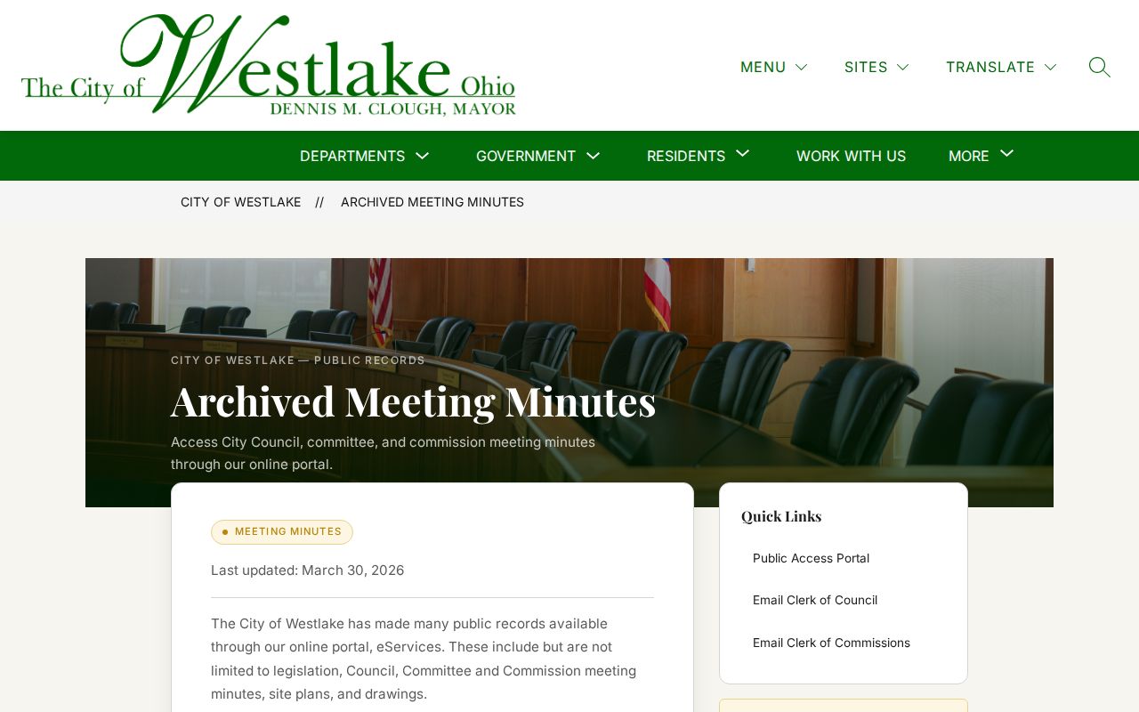
Use the documented address or project-name route only for public planning context, then return to the separate parcel record for property details.
Westlake Civic Contacts Have Limits
Westlake public civic resources can be helpful for a local-history question, but the research found no official Westlake association inventory with a verified directory status. Westlake Porter Public Library’s community-organizations resource lists public civic and service contacts. The Westlake Community Services Advisory Council identifies volunteers and people in public roles. Westlake City visitor material identifies civic, faith, recreation, and historic venues. None of those sources authorizes treating a photo, role list, or organizational contact as a household directory.
| Public local resource | Appropriate use | Documented boundary |
|---|---|---|
| Westlake Library community organizations | Find public civic or service contacts | Not a membership or household-data directory |
| Westlake Library Local History Librarian | Ask about local books, maps, and historical material | Research assistance, not a current resident source |
| Westlake Historical Society and Clague Museum | Ask about Dover and Westlake documents or historic-place material | Do not assume holdings are digitized or are person rosters |
These contacts are most useful after a parcel, map, or dated document has raised a specific historic question. They can point to collections and context. They should not be used to infer who lives nearby now.
Westlake Neighbor Privacy Boundaries
Ohio Safe at Home can change how Westlake address-related information appears. Westlake participants who meet the program’s safety criteria can use a substitute address with government entities, and a participant who acquires Westlake property after joining may record a Real Property Confidentiality Notice. Westlake participant names, addresses, and identifying details, including associated protected voting records, are exempt under Ohio Revised Code §149.43. The program does not retroactively conceal property acquired before enrollment.
Other Westlake limits remain important. Ohio law provides online redaction routes for particular identifiers and Westlake address suppression for eligible public-service workers under stated conditions. Westlake driver information is controlled by Ohio and federal law. Utility and delivery lists are private. Sealed Westlake court records and confidential voter material remain unavailable. A missing result should be left unexplained rather than treated as proof about a neighbor.
Ohio Safe at Home information describes the program and its protected-address rules.
Protected-address rules are a reason to respect an absent or redacted record, not a puzzle to solve through other sources.
Lawful use. Use Westlake neighbor records for personal curiosity, property context, civic understanding, or family history. Do not use a parcel trail or public record to follow, threaten, harass, or harm anyone.